India’s First Village Atlas: Unveiling the Significance for Government Exam Aspirants
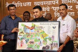
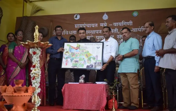
In a groundbreaking development, India has taken a remarkable stride towards enhancing its geospatial capabilities with the creation of its first-ever Village Atlas. This achievement carries noteworthy implications for candidates aspiring to secure various government positions, ranging from teachers and police officers to banking, railways, defense, and even civil service roles like PSCS to IAS. This article delves into the details of this milestone and its implications for those preparing for government exams.

Why this News is Important
Empowering Exam Aspirants: This news is particularly significant for aspirants preparing for various government exams as it introduces them to the dynamic realm of geospatial data analysis. In many exams, questions related to geography, regional planning, and development are commonplace. Having insights into the Village Atlas equips candidates with real-world examples, enhancing their understanding of these subjects.
Relevance in Policy and Planning: The Village Atlas contributes to aspirants’ awareness of government initiatives related to rural development, land management, and infrastructure planning. Many exams, including civil services, pose questions on government schemes and their implementation. Familiarity with the Atlas can provide candidates with practical instances to substantiate their answers.
Historical Context:
The creation of India’s first Village Atlas marks a watershed moment in the country’s geospatial journey. With the increasing reliance on technology and data-driven decision-making, this development aligns with India’s efforts to harness geospatial information for holistic development. It signifies a move towards precision and specificity in policy formulation and implementation.
Key Takeaways from “India’s First Village Atlas”
| Serial Number | Key Takeaway |
|---|---|
| 1. | Introduction of India’s inaugural Village Atlas. |
| 2. | Comprehensive geospatial data encompassing various aspects. |
| 3. | Significance in government exam preparation, especially geography-related questions. |
| 4. | Practical insights into rural development policies and schemes. |
| 5. | Fusion of analytical skills with current affairs knowledge. |
Important FAQs for Students from this News
Q1: What is India’s Village Atlas?
A1: India’s Village Atlas is a comprehensive geospatial database that provides detailed information about specific villages, encompassing aspects like land use, demographics, infrastructure, and more.
Q2: How does the Village Atlas benefit government exam aspirants?
A2: Aspirants can leverage the Village Atlas to enhance their understanding of geography, rural development policies, and current affairs. It also aids in demonstrating multidisciplinary knowledge during interviews.
Q3: Which government exams can benefit from knowledge of the Village Atlas?
A3: The knowledge is relevant for a wide range of exams, including civil services, teaching positions, police officers, banking, railways, and defense, where geography, current affairs, and policy analysis are tested.
Q4: How does the Village Atlas contribute to policy planning?
A4: The Village Atlas provides practical insights into rural development policies and government schemes. It assists aspirants in understanding the real-world application of policies discussed in exams.
Q5: How can candidates use the Village Atlas in interview rounds?
A5: The Village Atlas showcases an aspirant’s analytical thinking skills and multidisciplinary knowledge. Candidates can cite geospatial data to substantiate their answers and opinions during interviews.
Some Important Current Affairs Links


