Currently Empty: ₹0
INCOIS Wins National Geospatial Award 2025 for Ocean GIS Innovation
0 Comments
INCOIS wins National Geospatial Practitioner Award 2025 for its open-source GIS contributions in ocean data services like tsunami alerts, marine forecasts, and fishing advisories. Know its exam relevance, historical context, FAQs, and key takeaways.
INCOIS Awarded National Geospatial Practitioner Award 2025
Recognising Marine GIS Innovation
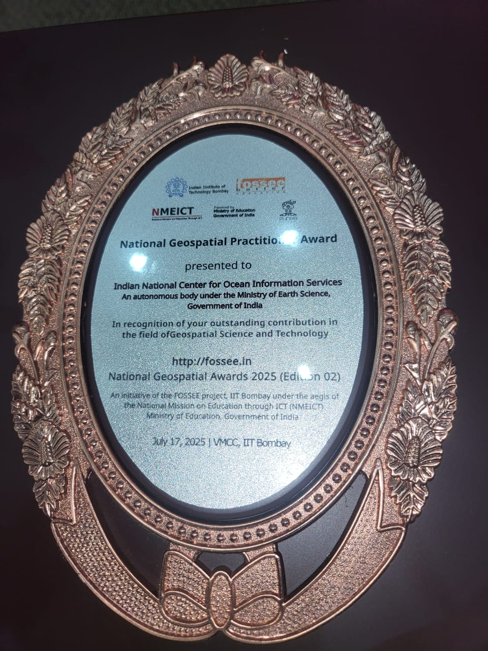
The Indian National Centre for Ocean Information Services (INCOIS), under the Ministry of Earth Sciences (MoES), has been honoured with the prestigious National Geospatial Practitioner Award 2025. The accolade was conferred during the second edition of Open Source GIS Day at IIT Bombay, marking its leadership in harnessing geospatial innovations to transform ocean information systems
Transforming Ocean Data Access
INCOIS’s commitment to open-source Geographic Information Systems (GIS)—notably platforms like QGIS and GeoServer—has revolutionized how marine data is processed and delivered. Complex oceanographic parameters such as tide patterns, sea surface temperatures, and wave heights are now readily available in user-friendly maps and real-time dashboards
Empowering Stakeholders
This geospatial transformation has direct real-world impact. INCOIS services, including Potential Fishing Zone (PFZ) advisories, marine weather bulletins, tsunami alerts, and coastal erosion modeling, are now more accessible to fishermen, maritime authorities, disaster management agencies, and researchers. This step has enhanced decision-making efficacy in both routine activities and crisis scenarios
Recognition by National Leaders
The award was received by INCOIS Director T. M. Balakrishnan Nair from former ISRO Chairman A. S. Kiran Kumar—highlighting the importance of space and geospatial technologies in sustainable ocean governance
Cost‑Effective & Accessible Tech
Adopting open-source tools ensures cost efficiency and wider adaptability, especially significant for remote coastal communities. This approach empowers small agencies and stakeholders to access marine geospatial tools without heavy investment in proprietary software

Why This News is Important
Strategic Growth in Oceanography
India is aiming to be a global leader in operational oceanography. INCOIS’s recognition reflects the government’s increasing emphasis on geospatial technologies as strategic tools for strengthening India’s maritime capabilities, coastal resilience, and disaster preparedness.
Exam Relevance
For government exam candidates—across UPSC, SSC, Banking, Railways, Police, Defence, and Teacher selections—understanding the integration of GIS in national-level institutions is crucial. Topics under Science & Technology, Environment, Disaster Management, and National Infrastructure frequently feature such advancements in current affairs sections.
Historical Context
INCOIS: A Timeline
- 1998-99: INCOIS was established in Hyderabad as an autonomous body under MoES, focused on operational oceanography.
- 2000s: Expanded its mandate to include tsunami early-warning systems, marine ecosystem monitoring, and coastal hazard modeling.
- Since 2010: Began leveraging GIS to enhance maritime situational awareness, integrating satellite data and IoT with geospatial platforms.
- 2025: Awarded the National Geospatial Practitioner Award—affirming its leadership in open-source marine GIS.
Key Takeaways from INCOIS Award
Frequently Asked Questions (FAQs)
1. What is INCOIS?
The Indian National Centre for Ocean Information Services (INCOIS) is an autonomous organization under the Ministry of Earth Sciences (MoES), dedicated to operational oceanography and providing real-time ocean data and services.
2. Why did INCOIS receive the National Geospatial Practitioner Award 2025?
INCOIS received the award for its pioneering use of open-source GIS tools like QGIS and GeoServer to deliver ocean-related data and services such as fishing zone advisories, tsunami alerts, and marine forecasts.
3. What are the practical applications of INCOIS services?
INCOIS services assist in marine navigation, disaster risk reduction, fishing operations, coastal planning, and scientific research by providing real-time oceanographic data.
4. Who presented the award to INCOIS in 2025?
The award was presented by former ISRO Chairman A. S. Kiran Kumar during the Open Source GIS Day Edition 02 held at IIT Bombay.
5. Why is this relevant for competitive exams?
This topic is relevant under Science and Technology, Environment and Disaster Management, Indian Institutions, and Oceanography in exams like UPSC, State PSCs, SSC, Defence, Railways, and Banking.
Some Important Current Affairs Links

